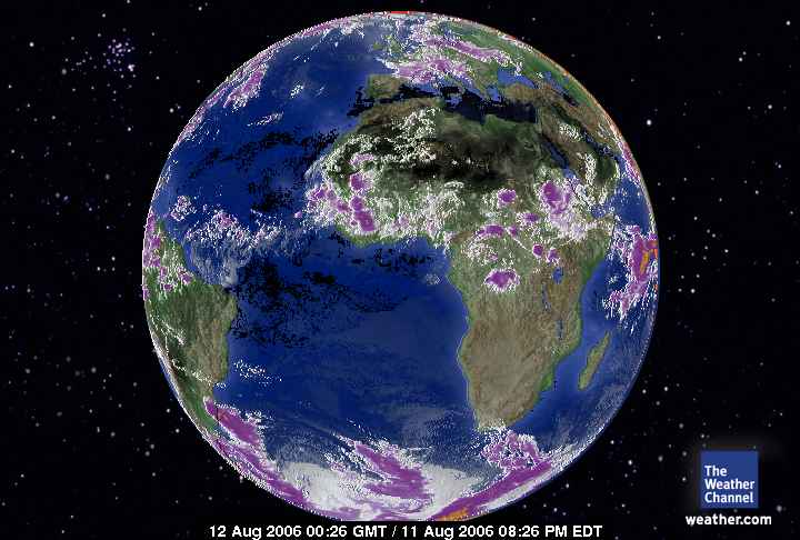
August 12, 2006.
0026 gmt.
Europe-Africa Satellite.
Interestingly the polar votices are sequestered for the most part over the poles. Their reach is extending down the face of Earth. The equatorial areas are very hot. Little intermingling. Some over North America but that is the densest blanket of CO2.
It's an intersting dynamics. Over the North America continent the movement of the cold air first occurred over water areas, Hudson Bay, the Great Lakes and now it has moved even further south.
Andy is chilly due to displaced Artic Air. I haven't done a complete analysis. I'll spend more time wth Earth tomorrow afternoon. A labor of love I can commit to memory without writing. There is also a very real reason why the hurricane season has been down graded by NASA. It isn't about El Nino either. There isn't the 'moisture' content to the 'lower/equatorial' trophosphere to HOLD THE HEAT and fuel the convension systems. The oceans/seas are hot but the moisture content is not there to support the clouds. On the other blog I have spoken about a dry Earth but very wet higher elevation troposphere without making it to the surface due to evaporation. Now. Imagine an entire hurricane attempting to build velocity to deliver heat to the seas BUT doesn't have enough water content to HOLD THE HEAT. The water vapor is what holds the heat that then is exchanged with the tropospheric air and surface water temperatures. There cannot be hurricanes IF there are no clouds. The Pacific however is mounting some record setting storms.
